The use of drones in the utility industry

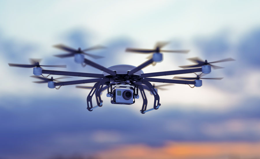
Most utilities recognize drones can play a role in expediting inspection of infrastructure like transmission lines. Utilities deploy drones after major events, too, such as floods, hurricanes and tornadoes.
Industry experts believe within a few years, linemen will carry drones in their trucks and use them like other high-tech tools such as handheld thermal scanners. The industry is at a point where it is increasingly testing and deploying drones and putting in place mobile damage-assessment software.
Software is still limited by how much territory a human assessor can cover. Even if a human assessor deploys a drone to speed up collection of data, the captured information still requires someone in a storm center to analyze the feed.
The largest benefit for drone work is on transmission lines and distribution circuits is in remote, rural areas. Utilities can turn to drones for specialized surveys, such as inspecting easements or carrying out volumetric analyses of stockpiled fuel at power plants.
In the future drones could use artificial intelligence and LiDAR to determine if a pole was broken, upright or leaning. Through integration with damage-assessment software, drone-supplied information would help utility managers quickly make decisions about which crews and skill sets were needed for each part of a storm-ravaged service territory.
Drones offer added safety because humans can use them to get close to damage, collect intelligence, yet avoid being in harm’s way after a storm event.
With any damage-assessment solution, whether its humans collecting data by mobile device, drones assessing the situation or both, the assessor must capture the number of trouble spots. The technology is there for calling out and deploying drones as assessors; a challenge is line-of-sight regulations. In urban areas, regulations that prevent flying over people make it difficult to assess damage with drones.
Source: www.tdworld.com
Looking for a reprint of this article?
From high-res PDFs to custom plaques, order your copy today!


